Logan Russell · 9 October 2026
Mossvale Meadows Butterfly Surge Sparks Expanded Conservation Monitoring Across the Region
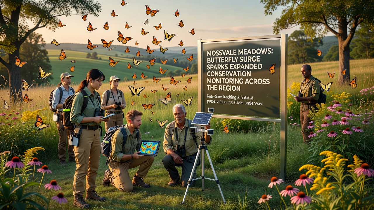
Observers note a marked increase in butterfly populations across Mossvale Meadows during the spring and summer of 2026, prompting local authorities and environmental groups to launch expanded monitoring programs that now cover a wider stretch of the surrounding countryside. Data collected through standardized transects shows species such as the meadow brown and common blue appearing in higher numbers than recorded in the previous five years, while less common visitors including the small copper have been spotted in areas previously considered marginal habitat.
Monitoring Program Expands in October 2026
Starting in October 2026 the regional conservation partnership rolled out additional survey points along the eastern boundary of the meadows and into adjacent farmland, where volunteers and professional ecologists record sightings every two weeks. The effort builds on an existing network that began in 2021 yet now incorporates drone-assisted mapping to track habitat changes in real time, and it draws on protocols developed by the UK Butterfly Monitoring Scheme that have been adapted for local conditions. Figures reveal that the number of monitoring visits increased from 48 in 2025 to 92 scheduled for the 2026-2027 season, allowing researchers to gather finer-grained data on how weather patterns and land management practices influence population trends.
Those who manage the meadows report that recent adjustments to grazing rotations and the creation of new nectar-rich strips appear to coincide with the observed rise in sightings, although they emphasize that longer-term data will be needed to confirm any direct link. The partnership has also begun sharing findings with neighboring districts so that conservation measures can be coordinated across administrative boundaries rather than remaining isolated to a single site.
Species Records and Habitat Data
Researchers discovered that 22 species were recorded during the peak flight period in July 2026, compared with an average of 17 over the preceding decade, and several transects logged daily counts exceeding 150 individuals on multiple occasions. Soil sampling and vegetation surveys conducted alongside butterfly counts indicate that the meadows contain a higher percentage of larval host plants than similar grassland parcels nearby, a factor that may support the surge. One study revealed that targeted wildflower seeding carried out three years earlier now supports dense stands of bird's-foot trefoil and red clover, both of which serve as critical resources for several resident species.
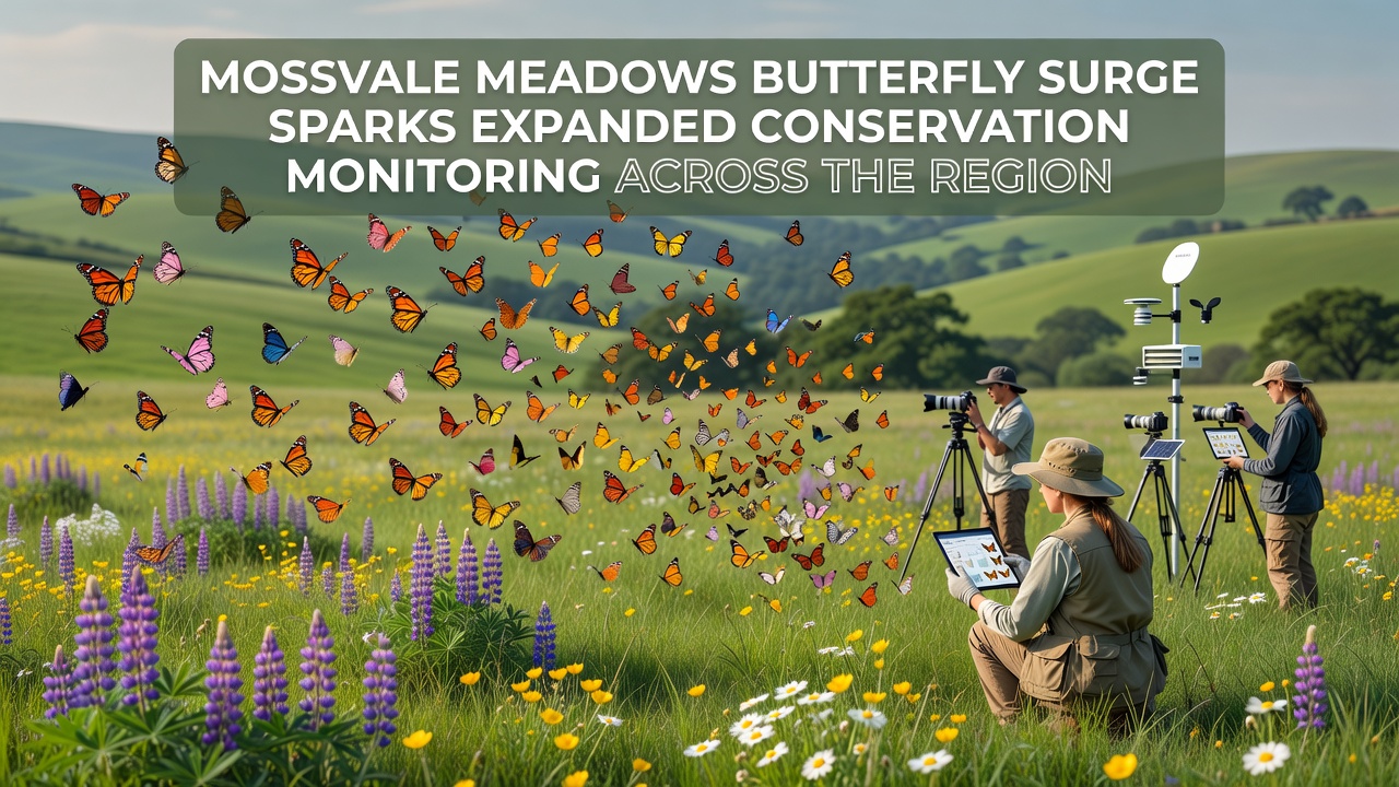
What's interesting is the way the expanded monitoring now reaches into linear features such as hedgerows and old railway embankments that connect the meadows to other green spaces, because these corridors can facilitate movement between populations and reduce the risk of local extinctions. Data from the new sites will be compared against baseline information gathered by the original meadow transects, creating a regional picture that was previously unavailable.
Regional Coordination and Data Sharing
According to reports from the European Environment Agency, coordinated butterfly monitoring across multiple sites improves the accuracy of trend detection and helps identify broader environmental pressures such as changes in rainfall or nitrogen deposition. The Mossvale partnership has adopted similar data standards so that local records can be integrated into larger datasets used by national and international bodies. A parallel initiative in the Canadian province of Ontario, for example, uses comparable methods to track species at risk and has produced models that local teams here are reviewing for potential application.
Community volunteers play a central role in the new schedule, receiving training on identification and recording techniques before they are assigned specific routes. Their contributions supplement the work of paid staff and allow the program to cover a larger area without exceeding existing budgets. Equipment upgrades, including weatherproof data loggers and improved GPS units, have also been funded through a combination of local authority grants and contributions from regional wildlife trusts.
Conclusion
The butterfly surge recorded in Mossvale Meadows has therefore triggered a measurable expansion of conservation monitoring that now extends across the wider region, with new survey points, increased visit frequency, and enhanced data-sharing arrangements all coming into effect by October 2026. Continued collection of standardized records will show whether the higher numbers persist and which management practices most effectively support them, while the cross-boundary approach ensures that findings inform decisions beyond the original meadow boundaries.