Uma Butler · 25 September 2026
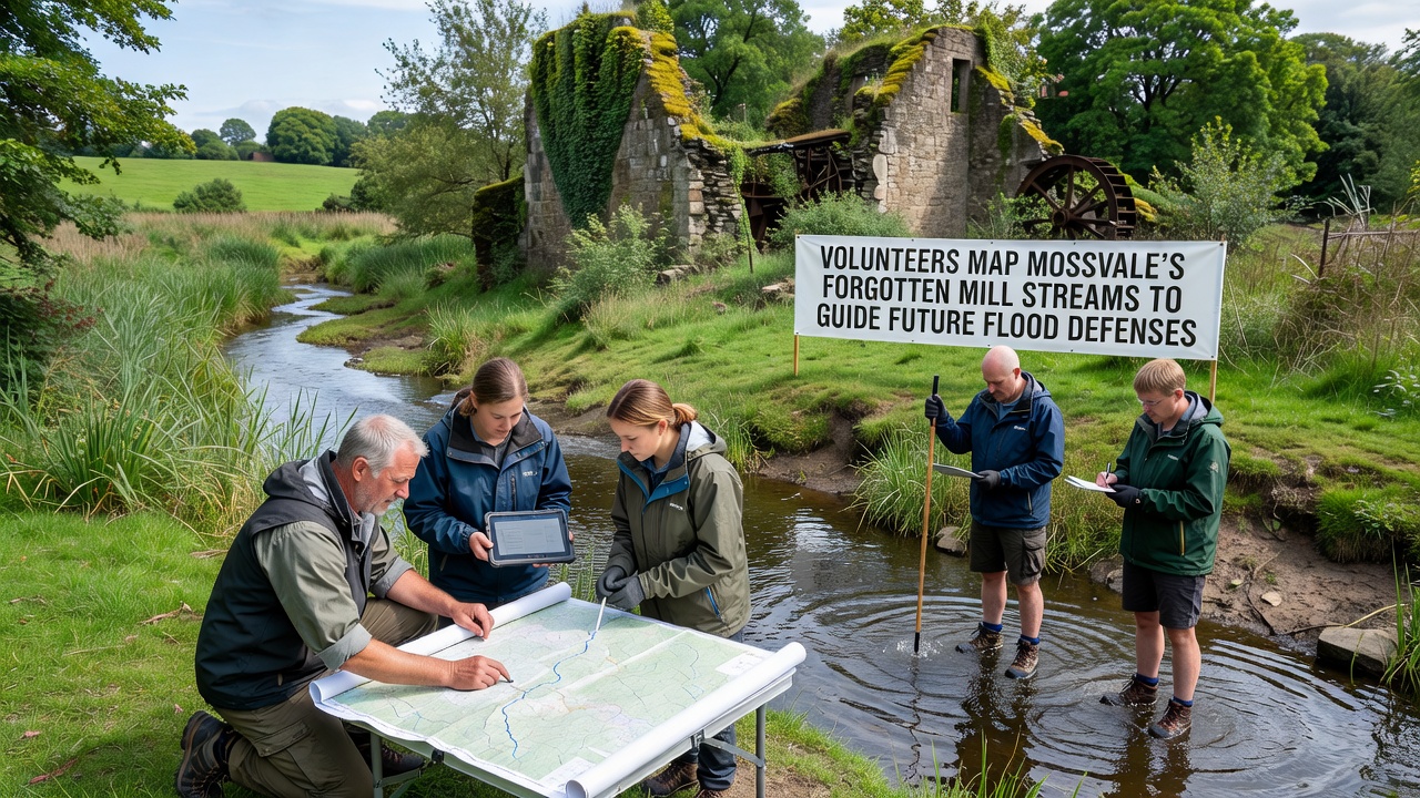
Volunteers Map Mossvale's Forgotten Mill Streams to Guide Future Flood Defenses
Volunteers across Mossvale have launched a detailed mapping initiative focused on the town's buried mill streams, and these waterways once powered local industry before falling into disuse during the twentieth century. The effort supplies engineers with precise data on underground channels that still influence surface water movement during heavy rainfall, while the project timeline includes fieldwork phases extending through September 2026.
Project Background and Scope
Historical records show that Mossvale once contained dozens of mill streams feeding textile and grain operations along the river valley, yet many of these channels were culverted or filled as urban expansion accelerated after 1950. Volunteers began cross-referencing old ordnance survey maps with current elevation data, and they identified dozens of potential routes where water still flows beneath roads and housing estates. The work connects directly to flood modeling because these forgotten paths can redirect runoff in ways that modern drainage systems do not always anticipate.
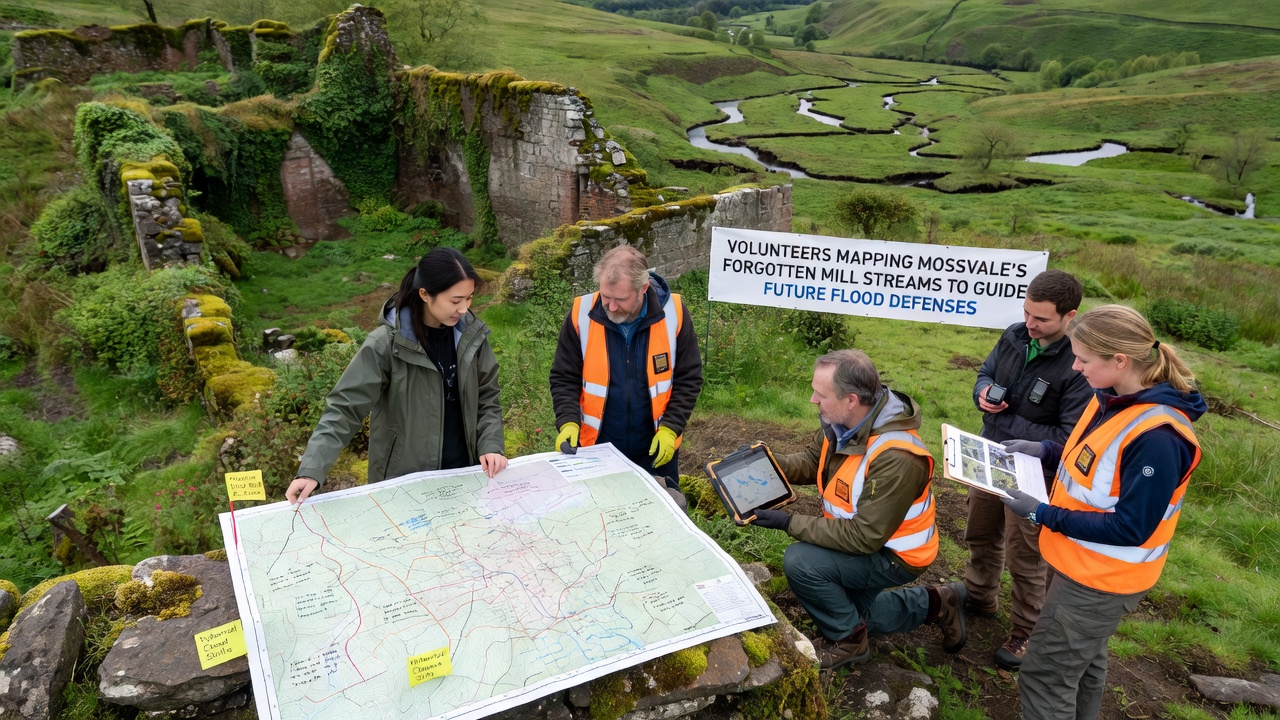
Community groups coordinate weekly site visits using handheld GPS units and ground-penetrating radar borrowed from local universities, and each session logs coordinates that feed into a shared digital database. Data from similar projects elsewhere demonstrate that such mapping reduces uncertainty in flood risk assessments by up to thirty percent according to figures released by the US Army Corps of Engineers.
Techniques and Tools in Use
Participants combine archival photographs with contemporary drone surveys to locate subtle depressions in the landscape that mark former stream beds, and they verify findings through soil sampling that reveals higher moisture levels along suspected alignments. Teams also interview longtime residents who recall visible streams before later development covered them, and these oral histories add context that official records sometimes lack. The resulting dataset includes both surface features and estimated depths of culverts, which helps planners simulate how water would behave if any channel became blocked or overwhelmed.
Key Discoveries to Date
Early results indicate that at least four major mill streams still carry water under the eastern side of Mossvale, and one previously uncharted branch runs parallel to the main high street for nearly eight hundred meters before joining the river. Measurements taken during the winter of 2025 recorded peak flows in these hidden channels that matched or exceeded those in the visible river during moderate storms, which suggests they continue to play an active role in local hydrology. Volunteers have flagged several locations where surface flooding correlates closely with these underground routes, and the patterns match predictions from computer models that incorporate the new mapping data.
Researchers at a Canadian university studying comparable industrial waterways in Ontario note that such hidden channels frequently create preferential flow paths during extreme weather, and the Mossvale findings align with those observations. The project maintains open data standards so other towns facing similar legacy infrastructure can adapt the methods without starting from scratch.
Integration with Flood Defense Planning
Local authorities have begun incorporating the volunteer-collected information into updates for the regional flood defense strategy, and the September 2026 deadline for preliminary modeling reports will include scenarios based on the newly mapped streams. Engineers use the data to evaluate whether certain culverts require reinforcement or whether daylighting sections of the old waterways could provide additional storage capacity during peak flows. Evidence from Australian water management agencies shows that restoring historical drainage routes often lowers downstream flood peaks when combined with modern retention basins.
Coordination meetings between volunteers and planning officers occur monthly, and these sessions allow rapid feedback on which mapped features require urgent attention versus those that can inform longer-term designs. The approach keeps costs down because citizen scientists handle the labor-intensive field verification while professionals focus on hydraulic calculations.
Conclusion
The volunteer mapping program continues to expand its coverage across additional districts of Mossvale, and the accumulating records provide a clearer picture of how historical infrastructure interacts with present-day rainfall patterns. As the September 2026 modeling deadline approaches, the datasets support more accurate simulations that account for both visible rivers and the forgotten mill streams beneath the town. This information in turn guides decisions on where to strengthen defenses and where to work with natural drainage features that have persisted for generations.